
Reviewed · HIKING & TREKKING
Cali: Pico de Loro Trekking Adventure – Farallones de Cali
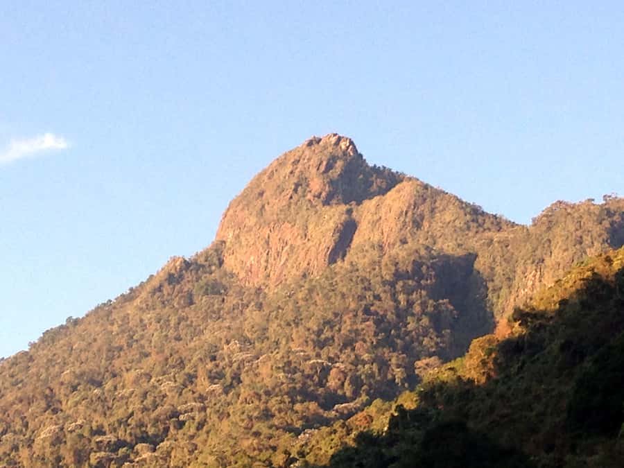
Pico de Loro is not a casual walk in the woods. It is Cali’s best-known mountain challenge, rising from 1,600 to 2,860 meters on a 9 km out-and-back route through Farallones de Cali National Natural Park. The final 1.5 km is especially hard, but reaching the top gives you a real sense of achievement.
I like the small group of no more than seven people, which makes it easier for the guide to adjust the pace. I also like the natural setting: thick jungle, changing temperatures, bird habitat, and stops for environmental interpretation rather than a simple race uphill. The main drawback is clear: this is a demanding hike, and poor weather can hide the views while making the trail tougher.
Key points at a glance
- A 9 km route with a 2,860-meter summit: You climb 4.5 km and return by the same distance.
- Steep final section: Some parts rise at angles between 45 and 75 degrees, with the last 1.5 km requiring serious effort.
- Small Spanish-speaking group: The group is limited to seven participants, with local and hiking guides.
- Farallones de Cali National Natural Park: The park protects four ecosystems, four thermal floors, and habitat for 540 bird species.
- El Topacio included: The day also visits this environmental education center.
- Weekday-only outing: The tour runs exclusively from Monday through Friday, with transport arranged separately.
Why Pico de Loro is Cali’s big hiking test
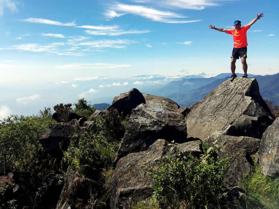
Pico de Loro is the sort of outing that asks you to earn its views. The trail begins at about 1,600 meters above sea level and climbs to 2,860 meters, so your legs work hard and the air changes as you gain height.
The total route is 9 km, split into a 4.5 km ascent and a 4.5 km descent. That distance may look manageable on paper. The steepness is what changes the equation. Several sections range from 45 to 75 degrees, and the final 1.5 km is described as the hardest part of the route.
I would treat this as a mountain day, not a sightseeing stop with a little walking attached. You need good fitness, steady footing, and the ability to keep moving for many hours. Short breaks are built into the outing for rest, acclimatization, and explanations about the natural setting, but this remains a demanding climb.
A few more Cali trips to weigh up
- Cali: TRES CRUCES – Cali’s most popular hike and monument
★ 4.9 · 19 reviews - Cali: Hiking to the Pance waterfalls
★ 4.9 · 15 reviews - Tayrona Park Hike And Beach Day
★ 5.0 · 91 reviews
Entering Farallones de Cali National Natural Park
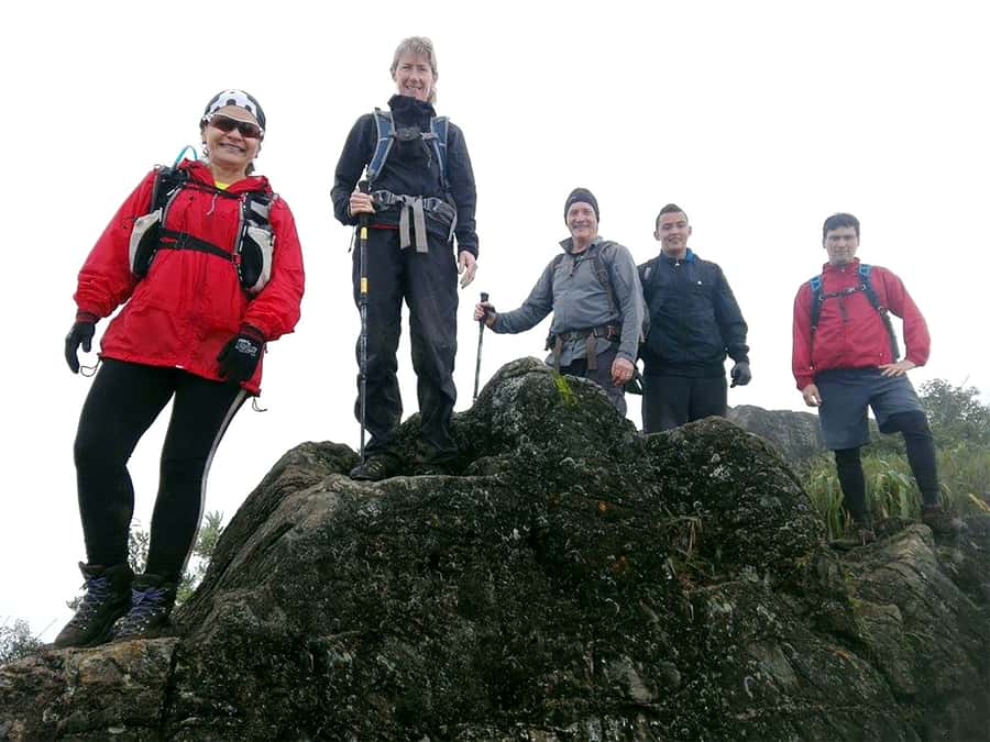
The park gives the hike its character. Farallones de Cali is one of Colombia’s older protected areas, with four ecosystems and four thermal floors. In practical terms, you should expect changing conditions as you climb, not one uniform stretch of forest.
The area also protects about 540 bird species, including species at risk of extinction and birds found only in this part of the world. You may not see rare birds on every outing, of course, but the setting gives the guide plenty to point out beyond the next bend in the trail.
The park has thick jungle, major water resources, and indigenous influence. Those details matter because the hike is not only about reaching a summit. The breaks for environmental interpretation help you understand why this area is protected and how much life exists around the trail.
I like that the route includes these pauses. They give your legs a rest and stop the day from becoming a simple test of endurance. If you are focused only on speed, you may find the stops slow you down. If you enjoy learning about nature, they add real value.
The climb from 1,600 to 2,860 meters
You start low enough to feel the warmth of the lower park, then gain height toward Pico de Loro. The supplied route information does not divide the trail into named stages, so you should think of it as a steady mountain ascent rather than a series of separate attractions.
Your guide will include short breaks during the climb. These are used for acclimatization and environmental interpretation, and they should help you manage the change in elevation. Still, do not confuse scheduled pauses with an easy pace. You need to be prepared for sustained uphill walking.
The terrain becomes more demanding as you approach the top. Steep sections between 45 and 75 degrees require careful foot placement and shoes with solid grip. Walking poles are optional, but I would consider them useful if you already know how to use them on steep ground.
A small backpack is better than a large one. Bring only what you need, keep it waterproof, and make sure your hands are free when the trail becomes steep. A camelback is also listed as optional, which can make drinking easier without stopping to reach for a bottle.
The final 1.5 kilometers and the reward at the top
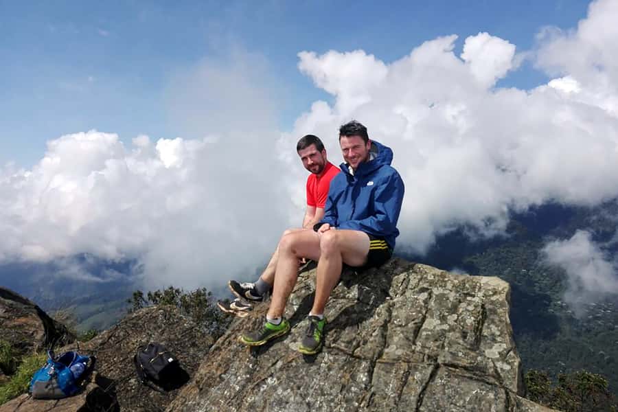
The last 1.5 km is where the hike changes from hard to very hard. One participant described this section as especially difficult but rewarding, and that is a useful way to frame the day. You should expect the final push to take patience rather than speed.
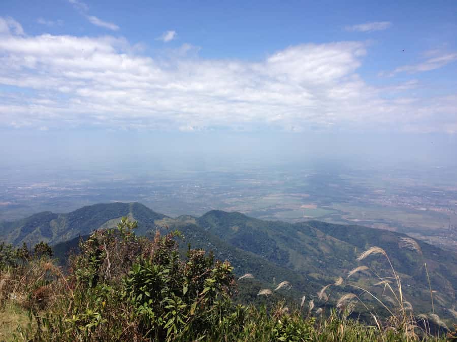
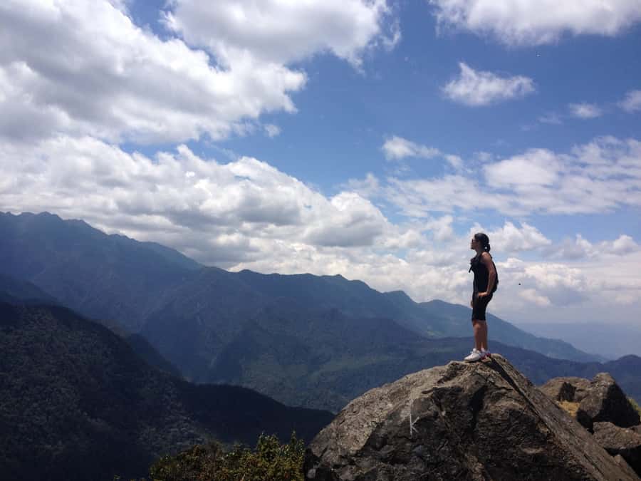
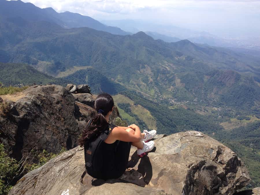
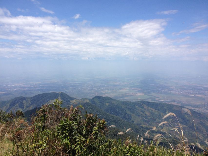
The summit reaches 2,860 meters above sea level. From there, the main reward is the mountain view, though weather controls how much you see. Cloud or rain can cover the surrounding scene, so do not book this solely for a guaranteed panorama.
Even with cloud, reaching the high point can be satisfying. You have climbed 1,260 vertical meters from the starting elevation and completed a route known as the most prestigious trail in the park. The physical achievement is part of the attraction.
Plan for a quiet pause at the top, then remember that the work is not finished. The descent covers another 4.5 km and steep downhill sections can be hard on your knees. I would not schedule another strenuous activity for the following day.
Same city, a completely different kind of day:
- Shared Tour Cali’s Historical Downtown
★ 4.8 · 143 reviews - Historical Shared Tour Salsa, Graffiti & Resistance in Cali
★ 5.0 · 107 reviews - The Cali Street Food Walking Tour
★ 5.0 · 81 reviews - San Cipriano Rainforest – River, Waterfalls and Adventure Day
★ 5.0 · 73 reviews
El Topacio adds an educational stop
The day includes a visit to the environmental education center El Topacio. This gives the outing a second focus beyond the summit and connects the walk with the park’s conservation work.
The available details do not specify how long you spend at the center or the exact order of the visit. Your day may place it before or after the main climb depending on the operating plan. Either way, it is a useful inclusion for anyone who wants context about the protected area rather than only a physical challenge.
The center is particularly relevant because Farallones de Cali contains several ecosystems and supports a large range of birdlife. It helps you see the park as a protected living area, not just a backdrop for mountain photos.
What the guides add to a small group
The outing includes a local guide and an expert hiking guide, both working in Spanish. The group size is limited to seven participants, which is a good fit for a steep trail.
A small group allows the guides to keep closer track of the pace and give clearer instructions on difficult sections. It also makes the environmental interpretation more personal than it would be with a large crowd. Guide Julián received specific praise for his patience, respect for different walking abilities, and useful explanations.
That point matters. A mountain group rarely moves at one identical speed, especially on the final climb. You should still be honest about your fitness when booking, but a patient guide can make the difference between a tough day that feels well managed and one that feels rushed.
The tour is conducted in Spanish. If you do not speak Spanish, confirm before booking that you can follow safety instructions and understand the guide during the steepest parts. The supplied information names Spanish as the tour language and does not promise interpretation in English or another language.
Weather, clothing, and what to carry
The tour does not cancel simply because the weather turns bad. That makes waterproof packing essential. Put clothing, electronics, documents, and snacks in waterproof bags inside your pack, or carry a separate plastic bag to protect them.
Wear sports shoes with good grip or proper hiking boots. Comfortable sportswear is important, but the suggested clothing is specific: a long-sleeved shirt and long pants. These offer protection from insects, wet vegetation, and changing conditions.
Pack:
- Passport or ID card
- Sunglasses and a sun hat
- Sunscreen and insect repellent
- Snacks
- Towel
- Extra clothes
- Rain poncho or waterproof jacket
- Hiking shoes or boots
- Sandals and swimwear, both listed for the outing
- A waterproof bag or plastic liner
The inclusion of sandals and swimwear suggests you may encounter water-related conditions or have an opportunity where those items are useful, but the supplied information does not describe a swimming stop. Bring them only if you have room.
A towel is also on the recommended list. That is sensible for a long day in a humid mountain environment, especially when rain is possible. Keep your pack light, but do not skip rain protection just because the morning looks clear.
Who should book this trek?
This outing suits experienced hikers in good physical condition and optimal health. You should be comfortable with steep uphill and downhill walking, uneven ground, a 10-hour day, and the possibility of wet weather.
It is not suitable for pregnant women, people with back problems, mobility impairments, heart problems, respiratory problems, recent fractures, or wheelchair users. The information also rules out anyone who cannot safely manage this level of physical effort.
I would choose this hike if you want a serious outdoor challenge close to Cali and prefer a protected natural area to a city tour. I would skip it if your main goal is a relaxed walk, easy access to viewpoints, or a flexible weekend activity. It runs only Monday through Friday, which may also rule it out if your schedule is tight.
Is $49 good value?
At $49 per person, the price covers the local and expert hiking guides, entrance to the natural reserve, medical insurance and assistance, the El Topacio visit, and the ascent itself. For a full 10-hour day with a group capped at seven people, that is a fair package.
The value depends on what you need. If you can reach the meeting point independently, the price keeps the outing reasonably focused on the hike. If you need a ride from your accommodation, transport costs extra because pickup, drop-off, and transport are not included.
That missing transport is the main budget detail to remember. Everyone must arrive at the stated meeting point, and additional transport needs to be arranged directly. Confirm the meeting location and your transport plan before committing, especially if you are carrying wet-weather gear and hiking equipment.
Medical insurance and assistance are included. That does not make the trail risk-free, but it is a useful part of the package on a steep route in a protected mountain area.
The booking terms are flexible. You can cancel up to 24 hours ahead for a full refund, and you can reserve now and pay later. Availability controls the starting time, so check the schedule rather than assuming a particular departure hour.
How the day may feel from start to finish
Expect the day to last about 10 hours, including the approach, climbing, stops, summit time, and descent. The exact timing of each section is not specified, so give yourself a full day and avoid adding another fixed appointment afterward.
The opening portion gets you into the natural reserve and onto the trail. Early on, you may have more energy and warmer conditions, but the real effort builds with the ascent. Use the breaks to drink, adjust clothing, and listen to the guide.
The middle section is where the changing elevation and steepness begin to matter. Your pace may slow, and that is normal. Keep your attention on secure footing instead of trying to match a faster hiker.
Near the summit, expect the hardest work. The final 1.5 km can feel long, particularly if the trail is wet or clouds reduce the visual reward. Once you reach 2,860 meters, take time to enjoy whatever views the weather allows.
The return is not an afterthought. Descending 4.5 km can be tiring after the uphill climb, and steep slopes place different demands on your legs. Save snacks and water for later in the day, and keep rain protection accessible rather than buried at the bottom of your pack.
Should you book Pico de Loro?
Book it if you want a serious Cali-area hike, have experience on steep trails, and can spare a weekday for a long day outdoors. The combination of Farallones de Cali, a 2,860-meter summit, environmental interpretation, and a small Spanish-speaking group gives you more than a basic mountain walk.
Think twice if you have medical or mobility limits, dislike wet-weather hiking, or expect an easy viewpoint trail. The 75-degree sections, the hard final 1.5 km, and the lack of included transport are real considerations.
For the right hiker, $49 is a sensible price, especially with park entry, guides, medical assistance, and El Topacio included. Arrive prepared, protect your gear from rain, and plan a quiet day after the trek.
FAQ
How long does the Pico de Loro trek take?
The activity lasts 10 hours, including the hike, breaks, environmental interpretation, acclimatization stops, and the visit to El Topacio.
How far is the route?
The total distance is 9 km, with 4.5 km going up and 4.5 km coming back down.
What is the highest point?
The trail reaches Pico de Loro at 2,860 meters above sea level. It begins at approximately 1,600 meters.
How steep is the trail?
Some sections have changes in level between 45 and 75 degrees. The final 1.5 km is considered especially demanding.
Is this tour suitable for beginners?
The activity is intended for experienced hikers in good physical condition and optimal health. It is not presented as an easy beginner trail.
Is transport included?
No. You must arrive at the meeting point yourself. Pickup, drop-off, and transport are not included, though additional transport may be arranged directly.
What language is the tour conducted in?
The live tour guide and hiking guide operate in Spanish.
How large is the group?
The group is limited to seven participants.
Does the tour include entry to the reserve?
Yes. Entrance to the natural reserve is included, along with the ascent to Pico de Loro and a visit to El Topacio.
What happens if it rains?
The tour is not canceled because of bad weather. Bring waterproof clothing and protect the contents of your bag with waterproof covers or plastic bags.
Just added around Cali
- Friday Salsa Pub Crawl in Cali★ 4.9 · 23 reviews
- Private Tour on a 1100cc Cruiser Motorcycle★ 5.0 · 4 reviews
- Flavors of Cali: Food tour at the local market★ 5.0 · 5 reviews
- Coffee Tasting Experience in Cali★ 5.0 · 13 reviews
- From Cali: Whale Watching Day Trip in Buenaventura★ 4.6 · 3 reviews
- Cali: Walking tour of the historic center★ 4.9 · 18 reviews
- Cali: Two hours walking Cali City discovery tour★ 5.0 · 3 reviews
- Cali: Hiking to the Pance waterfalls★ 4.9 · 15 reviews
Hiking & Trekking, compared.
Private tour: hiking to the crystalline MELCOCHO river from MEDELLÍN
Read our review →
Salento/Pereira: Cocora Valley & Salento Hiking Private Tour
Read our review →
Guided Hiking through Tayrona National Park and Cabo San Juan
Read our review →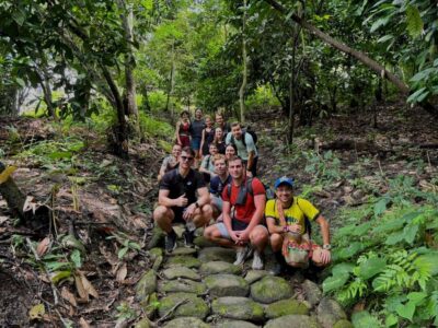
Trekking History and Indigenous Heritage in Minca + Cacao & Coffee + Waterfall
Read our review →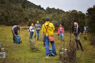
Browse the lists this tour appears in